Travel Guide
São Tomé Roads: North and South
Two main roads run out of São Tomé City, and neither behaves the way the compass points suggest.
Two main roads run out of São Tomé City, and neither behaves the way the compass points suggest.
The North Road
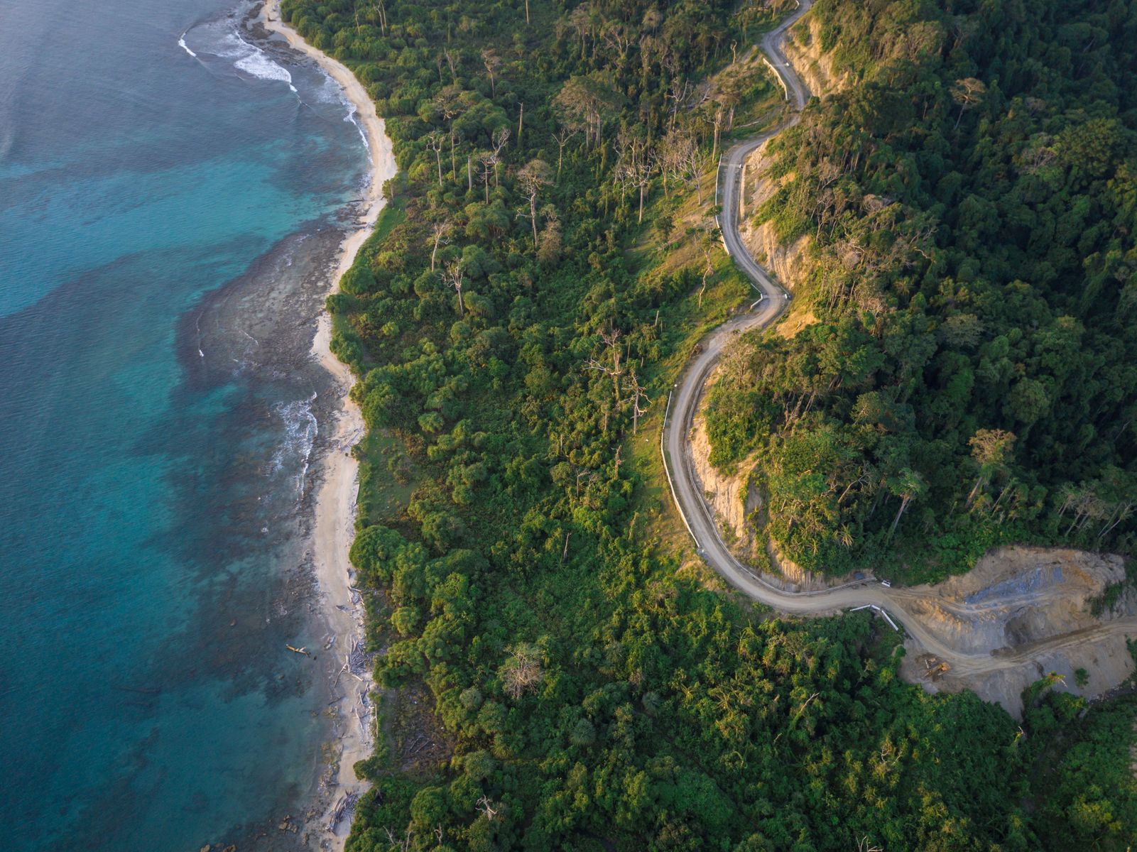
This one heads out of the city to the north, but by the time it has worked its way round the top of the island, it is running south again, down the west coast. The route runs from the city through Guadalupe, Neves, and Santa Catarina, on towards Roça Ponta Figo on the northwest coast.
The road itself is good as far as Guadalupe. After that it deteriorates, and the further south you go, the worse it gets. It's still doable in a normal hired car and plenty of people use it that way, you don't need a 4x4 for this one.
Hiaces move fast, close to Formula One pace, so if one comes up behind you while you're taking your time, pull over and wave it past rather than trying to hold your line.
At Santa Catarina, the old bridge is ruined and a replacement is currently being built alongside it, to the left.
Kids along the road will sometimes ask for dosa (sweets). The general advice is not to hand them out. Hitchhikers are common on this road too, so expect to see people flagging down passing cars.
At Lagoa Azul, it's worth walking up to the lighthouse. The views from up there are excellent.
The road also has stretches of "pavement", smoother laid concrete strips running along the sides. Motorbikes use these regularly, and residents living right on the road will often place large stones on them to stop bikes running past directly outside their front doors. Take care if you're using these strips after dark.
The South Road
This one runs more or less as its name suggests, down to Porto Alegre. The route goes from the city through Trindade, São João dos Angolares, Porto Alegre, and on to Ribeira Afonso in the Caué district.
Same pattern as the North Road: fine to start, and it deteriorates the further south you go. The drive down to the Porto Alegre area takes around two hours, with the road turning increasingly rough near the palm oil plantations in the south. If you're driving yourself, this is a road where the right rental car makes a real difference.
There are swim stops along the way if you want to break up the drive, including Praia Micondo and Praia Pesqueira, the second with a small waterfall and a café overlooking it. If you're passing Vila Malanza, the mangrove tour there is worth the short detour.
Pico Cão Grande, the island's 663 metre volcanic plug, comes into view repeatedly on this road, with different viewpoints giving you a different angle each time.
The road serves the southern cocoa belt and gives access to Roça Água Izé, once the island's largest plantation, along with Praia Jalé, known for whale watching, and Praia Inhame.
Porto Alegre itself is small, just a handful of buildings and a few basic stalls, so come with the right expectations. From here, Ilhéu das Rolas is a short boat ride away, around fifteen to twenty minutes, and a walking path lets you cross the island in a couple of hours.
Quick Facts
All Travel Guides
Ready to book?
Browse tours, hire a car, or ask us to help plan your itinerary.